
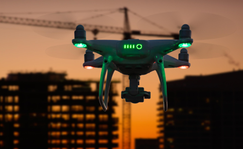
FIVE REASONS CONTRACTORS SHOULD USE DRONES FOR DATA COLLECTION TO IMPROVE EFFICIENCY
“If it ain’t broke, don’t fix it.” But what if it could improve your performance? Drones aren’t here to fix what is broken; they are here to take what works and elevate it to its highest potential. It is common for people to stick to what is comfortable. Their instinct is to approach technology and new methods with caution; however, in such a competitive industry, contractors must learn to adapt. With multiple companies bidding for the same project, they will need a competitive edge, and drone flights can help with that.
Explore the five ways drone flights benefit contractors by enhancing the preconstruction phase and project lifecycle:
Fast Surveys
Drones capture a mass collection of data points simultaneously within minutes. The data can be processed to generate an accurate topographic map and 3D models. This will then allow accelerated planning, especially when identifying resource allocation.
Lowers Cost
Drone flights minimize labor hours needed to conduct manual surveys and overall labor, as they reduce rework.
Improves Safety On-site
Drones can identify hazardous environments and gather data in inaccessible areas. If there are any steep slopes or unstable soil, then crews will not have to worry about putting their safety at risk to obtain the necessary information.
Enhances Project Progress Tracking
Drone flights used for site verification purposes will compare the original take-off estimates with the quantities displayed in the real-time updated data provided by the flight. This will allow you to import or export dirt that was not accounted for. You can also fly a drone throughout the project’s life cycle to ensure it stays on track. It can also be used for tree clearing to see which vegetation needs removal. Lastly, once the topsoil has been stripped, you should carry out another drone flight to re-run the volumes. You can then use the precise data to make an appropriate decision on how to reallocate your resources and when to schedule your next order of materials.
Bridges Communication Gaps
Shared aerial data that integrates with both BIM and CIM systems allows collaboration between architects, engineers, and contractors. The imagery revealed in models that were created from drone flights also provides all stakeholders with a clear visual of site conditions.
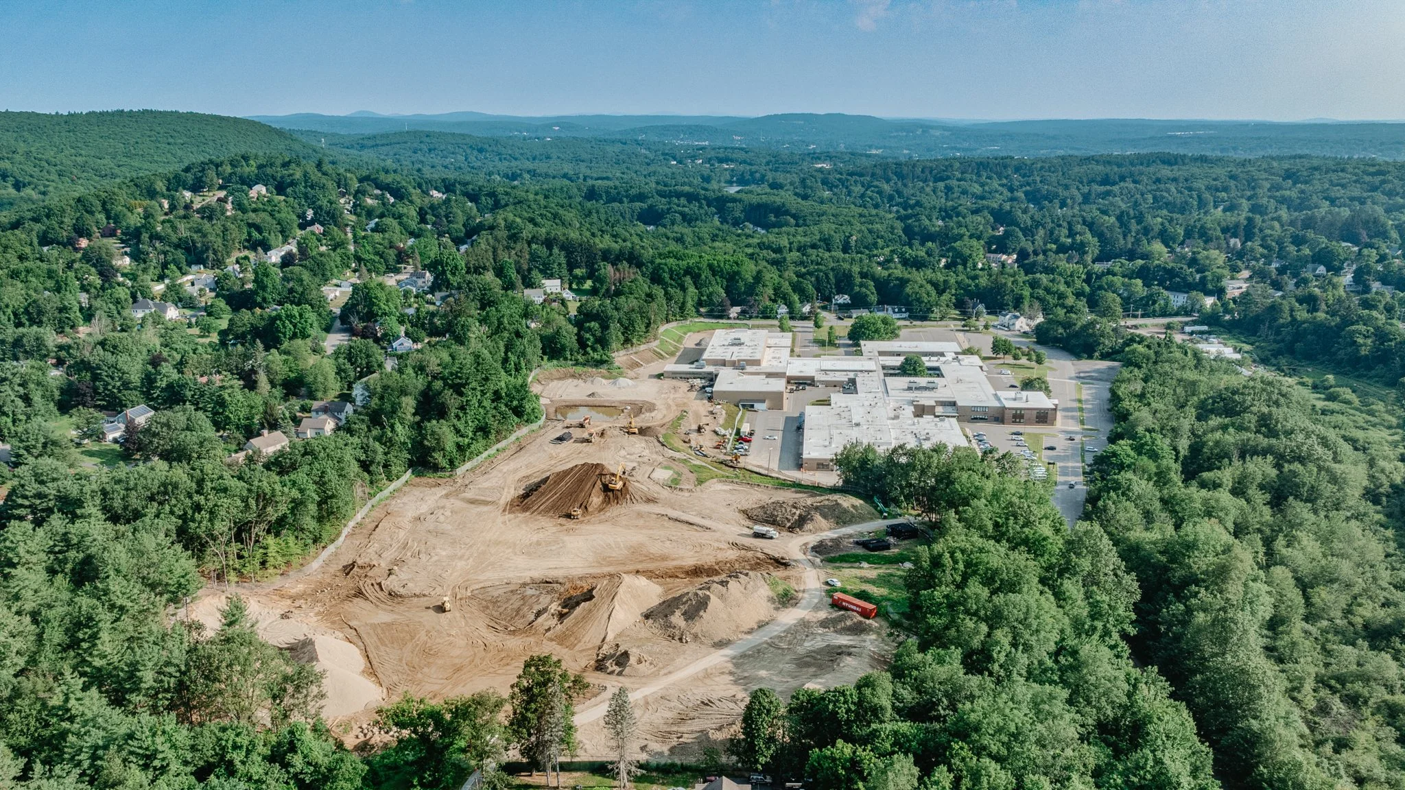
Drone Footage from Leominster High School
Now, if you decide to dip your toes into the flourishing world of technology and drones, what are your next steps?
Consider researching the various types of drones you can purchase. If you don’t want to invest right away, you can also contract surveyors who already own the equipment to try it out or utilize it on an ongoing basis. Once you receive the mass data collection, you will need to find someone to process the data and convert it into a model, whether it is in-house or outsourced. This step is crucial. Reach out to 877-572-3414 or email us at info@eci3d.com if you have any more questions about drone flights and how they can benefit your business!