
Services
We have solutions for every step of your process
-
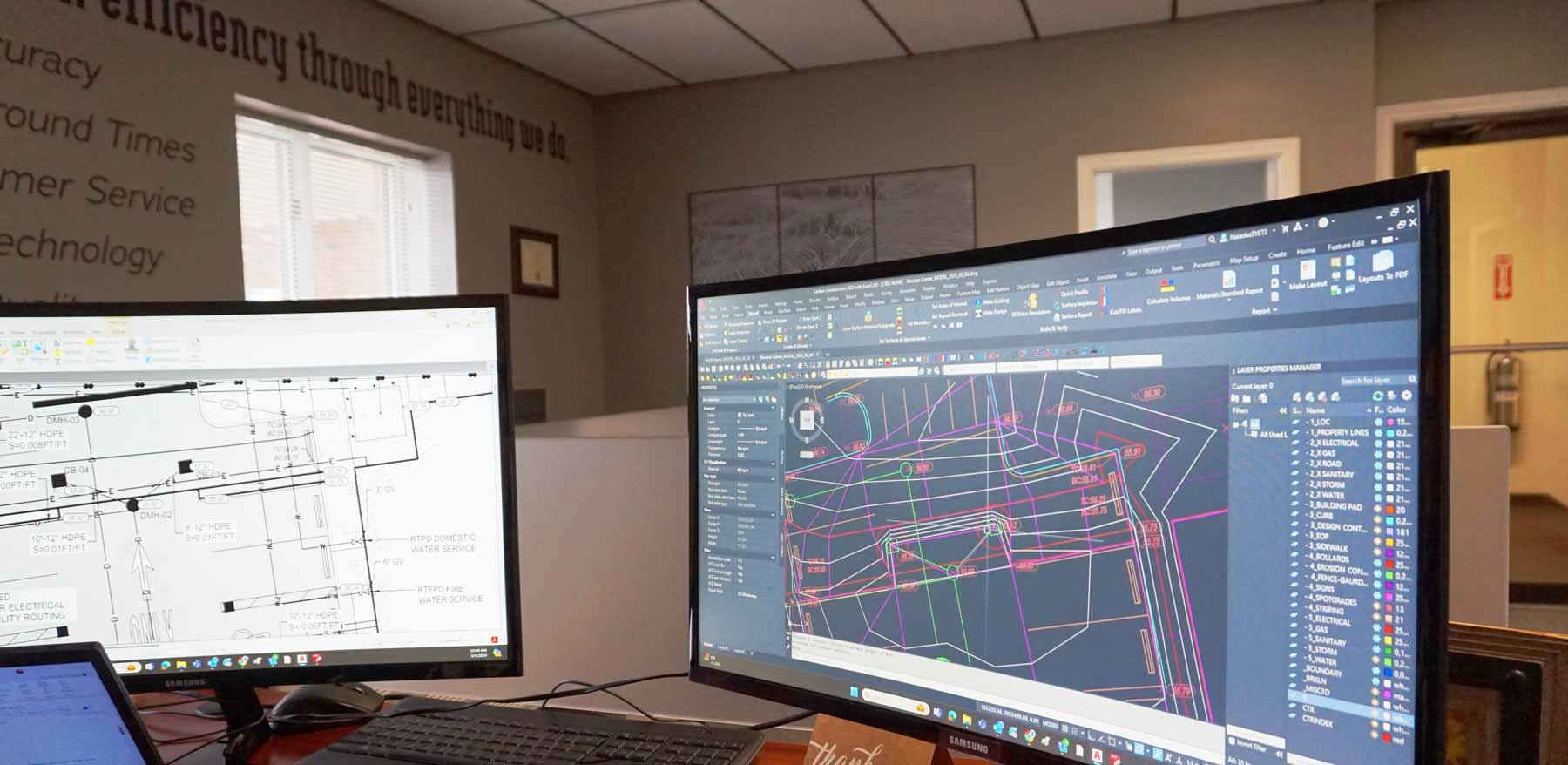
3d models are the standard tool for bidding, planning, and executing earthwork construction projects and are essential in helping you estimate your materials and costs as accurately as possible. Utilizing 3d models gives you the best opportunity to win business, efficiently run your projects, and enhance your bottom line.
3d models provide significantly greater precision, which optimizes the utility and efficiency of your earthwork-automated equipment, keeping your fleet productive. Using 3d models, you can proactively identify and resolve conflicts in the plan, so the work done in the field is performed accurately and efficiently.
ECI is a leader in providing 3d models for earthwork contractors. ECI employs engineers with backgrounds steeped in the construction industry. We are experienced with modeling the most complex data, and our team is equipped to handle any challenges your project may bring. Our data is accurate and fully transparent, and our 3d models are routinely approved first-time by DOTs, so your project will flow without needless stops and starts.
ECI works with all GPS retailers, and our data works with all GPS models. We can help you troubleshoot and ensure correct calibrations to get the most out of your equipment.
Unlike part-time contractors and over-scheduled employees, we have the focus, expertise, consistency, and drive to give you the right 3d model on time when you need it! We are compulsively responsive, which makes it easy for you to get the bid and start the project! We constantly communicate with you throughout the project as an integral part of your workflow.
Knowledge, Reliability, and Confidence You Can Trust. ECI has the expertise, the process, and the focus on YOU so that all your 3d models are timely, accurate, and precise – the first time!
-
We allow contractors to complete projects with optimal profitability.
Our CAD services allow clients to build accuracy into all stages of their project, from takeoffs at the beginning of the bidding process to linework and models while the project is ongoing, all the way through to as-builts once the project is complete.
Using our secure linking system, we’ll review information from the client and generate a CAD file, which can then be used to create the linework inputted into GPS systems. This method ensures the entire job is on-point and at the correct grade. At the end stages of the project, the as-built document will confirm that the project is ADA-compliant, eliminating the need for project corrections and redundancies. We always perform a thorough QA/QC check on our CAD files before you receive them.
Whether you’re a landscaper, an excavator, or even a building erector looking for a footing model, our CAD services will have your project running smoothly and accurately from start to finish.
-
We provide more time for contractors to do their due diligence during the bidding process.
Cut and fill analyses, or takeoffs, are essential for contractors and project managers to estimate the amount of material they need to bring in or out of the job site.
Our cut and fill analyses are a great tool to assist the client with making a knowledgeable bid because they know all the quantities associated with the project. They also aid in balance engineering, which allows contractors to add, move, or remove only the material needed, saving time and money. Throughout the project, our analyses can monitor progress and establish values over what is expected, allowing contractors to gain additional billable hours or pay reconciliations.
We use the most advanced software and hardware to establish your material quantities accurately. Our engineers can quickly produce precise and accurate takeoffs so that you don’t have to, giving you more time to focus on your bid and construction projects.
-
We help contractors stay on track and get paid for the complete scope of the project.
Whether you’re bidding on a new project or need to verify existing conditions, mass data is an efficient way to advance your process.
Our mass data services are used during bidding to develop an accurate, timely, and cost-effective 3d model to optimize your bids. We can also help you plan, execute and monitor an ongoing project using mass data, allowing for a highly accurate record of the pre-construction site compared to the work that has already been done.
We use mass data collected in multiple formats, including LiDar, laser scans, road scans, and RD-M1. However you get your mass data, we can create an accurate and precise 3d model. We use the most economical means necessary to get comprehensive data, allowing you to bid on, plan, and complete your project.