
Help doesn’t stop when you’ve sent over the project files; at ECI, we are here to support you throughout the entire project’s lifecycle. Did you know that we also provide base and rover support? If you’re having trouble, you can reach out to ECI for pre-setup, setup, troubleshooting, or post-setup service support. We have an in-house expert ready to assist.
WHAT IS ECI’s REMOTE SUPPORT SERVICE
During the setup, we assist contractors with 1-point localizations, formatting, transferring information in and out of data collectors, as well as into the machine from the data collector. We also help with continuity, troubleshooting, checking radio signals, and setting up benchmarks.
The most frequent issue clients use our remote support service for is project control. In some cases, contractors have trouble locating control points[GU1] , or the control points may not agree with the CAD drawings/ project coordinates. This usually occurs when everything appears to be correct, but the project is shifted by some distance. But the support we offer goes well beyond control issues. We regularly answer questions about collecting points, staking out points and linework, operating machine control systems, and uploading or downloading project data.
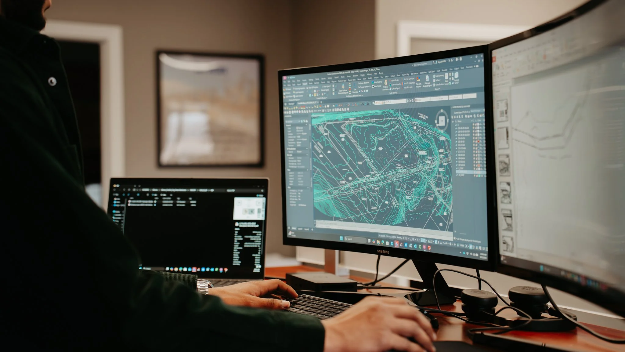
PROBLEMS SOLVED BY ECI’s RESIDENT EXPERT
An example of a time when our expert engineer provided remote support that saved a contractor from costly downtime or rework was when a contractor wanted some as-built points plotted. While reviewing the data, our expert noticed that some of [OF2] the elevations were negative. Due to their extensive career and firsthand experience working with elevations around 800 to 1,400 feet above sea level, they noticed it immediately. However, in coastal states, elevations aren’t necessarily unusual. In this case, though, the elevations were grossly incorrect. After investigating the project control, it was discovered that the contractor had localized using a point with an elevation of -9999, which is our standard placeholder for a point without an assigned elevation. In the end, they were able to identify the proper axis and correct the tilt in the collected points, rather than requiring the contractor to go back out and collect everything again. This displays how remote support can save additional fieldwork. Sometimes it’s a matter of recognizing something that doesn’t look right, understanding the project geometry, and finding a practical solution.
As we all know, technology doesn’t always run smoothly. For example, sometimes it breaks or loses signal. This also pertains to GPS equipment. In the past, a contractor called ECI because his GPS was consistently about 20 feet off. It turns out that he assumed his base had somehow changed radio channels on its own. So, he started changing channels until he found one that gave him a fix again. Unfortunately, he’d connected to another base station approximately four miles away and was using its corrections. His GPS was giving him a fix, but it wasn’t supplying the correct position. Luckily, ECI resolved the issue and got him up and running. A direct quote from our knowledgeable engineer, Keith: “GPS will build the wrong thing just as fast as it builds the right thing”.
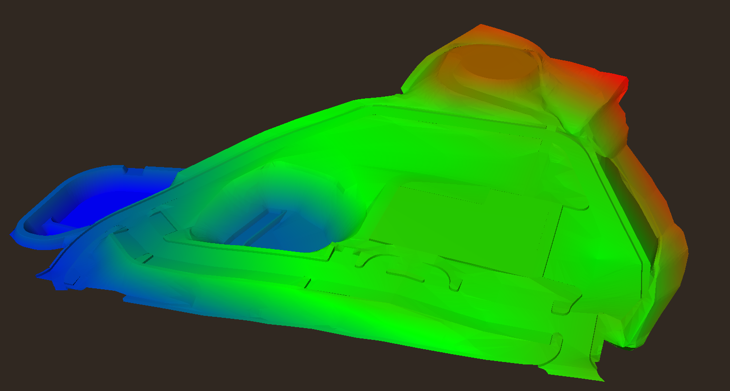
STOP WASTING TIME & CALL ECI FOR REMOTE SUPPORT SERVICES
Good support doesn’t end when the 3D model is delivered. Construction projects are constantly evolving, and unexpected discrepancies between design plans and actual field conditions can lead to costly setbacks. Whether it’s unexpected earthwork quantities, design revisions, or existing conditions that don’t match the plans, having reliable support means contractors have someone to turn to when things don’t go as planned.
What makes our remote support services so valuable is that ECI has engineers with backgrounds in construction, construction equipment sales and support, engineering design, and construction inspection. Giving them a broad understanding of the construction process, from design through actual construction in the field.
We’ve also spent years working with GPS equipment, software, and project files from a variety of manufacturers, including Topcon, Trimble, Leica, and Carlson.
If you were to call an equipment manufacturer's technical support line, they’re generally focused on their equipment or software. At ECI, we’re looking at the bigger picture. The problem might be with the equipment, the control, the localization, the model, or even the original design information. Our engineers' main goal is not just trying to get the GPS working, but to help the contractor get the job built correctly.
If you are interested in learning more about ECI’s remote support services, reach out 877.572.3414 or email us at infor@eci3d.com!
[GU1]This sounds wrong to me
[OF2]Rewrite and make it more concise