
Resources for JESCO Partners


What comes next?
Working with ECI.
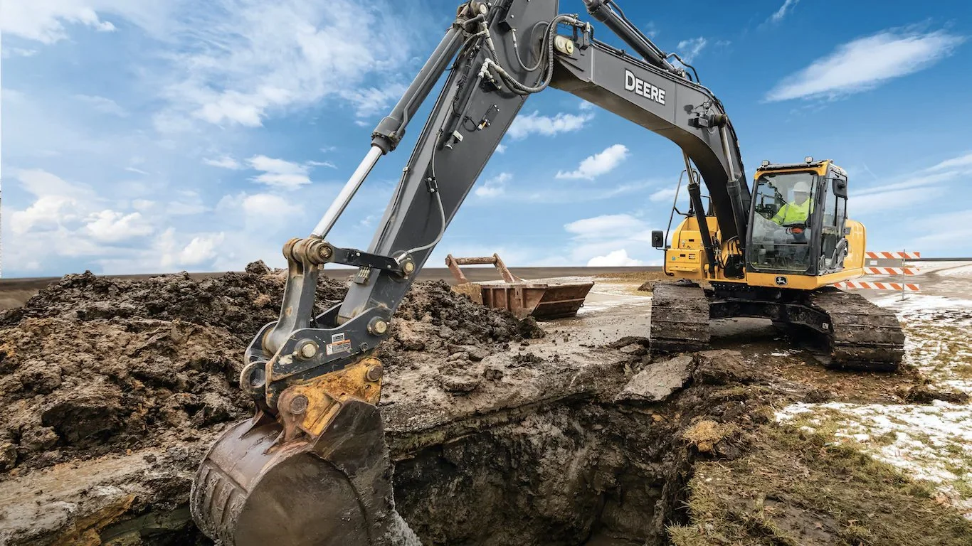
We specialize in exceptionally accurate data for your new GPS-enabled equipment.
To ensure your investment is able to hit the dirt running, we have partnered with JESCO Equipment to fulfill your initial modeling needs. JESCO’s precision specialists will connect you with Ray Antaya, President and Founder of ECI to start your GPS journey.
Why do you need a site model (especially a good one)?
Not all 3D surface models are created equal. Well designed, 3D surface models provide excellent and precise machine guidance. When models are poorly constructed, they often result in problems. It’s impressive to watch a dozer or digger being guided by GPS. They read everything that exists in the surface model very precisely. When operators are less experienced, they may not realize how sensitive it is. Problems can be compounded if there are machine calibration issues, valve issues, or control box issues, making it harder to troubleshoot. A contour plan is a graphical representation of the lay of the land. It shows the degree of slope on a site and is one of the most important plans for machine control.

Frequently Asked Questions
What is Civil Information Modeling (CIM) and what is the benefit?
There are several reasons why we advocate that you should use CIM (Civil Information Modeling). The main one is our client partnerships, where we integrate our modeling work into their workstreams, which saves them money. As a reminder, CIM is the horizontal construction counterpart to BIM (Building Information Modeling) for vertical construction. When you incorporate CIM processes into civil engineering workflows, the result is far superior to when it is not. CIM can increase profits for a few reasons:
Project enhancement through 3D models and communication
Increased accuracy
Reduced change orders
Strategic future project planning & execution
What if I already have an in-house GPS pro?
We are often asked how we can provide value to a road, utility, or site contractor who already has an in-house GPS model builder. The answer is simple, we work collaboratively with them to add the modeling expertise of our VCEs, we take up the slack to get large projects ready for construction, and we bring more modeling tools to the table. The value of creating timely and accurate 3D models pays huge dividends. Similarly, the benefit of finding a service provider that can seamlessly work with your in-house staff means making the most of your resources and investments.
Need help?
Fill out this form and customer success will reach out to you.