GPS MACHINE CONTROL: WHAT’S THE DIFFERENCE BETWEEN ALL THE FILE TYPES?
When operating your heavy equipment with GPS machine control, you’ll first have to load project files into the machine so that it knows where it is in relation to the project and what the design elevation is at any given location. Depending on which brand of GPS equipment you’re using the file types and therefore file extensions will differ. The reason for this is that the brands each have their proprietary systems with their own file types as opposed to universal ones. For example, have you received files ending in .ttm, .dxf, .csv, .tn3, .ln3, or others and wondered what’s the difference between them? We’ll help take some of the mystery out of it for you in this blog.
Common File Types Used in Construction Technology
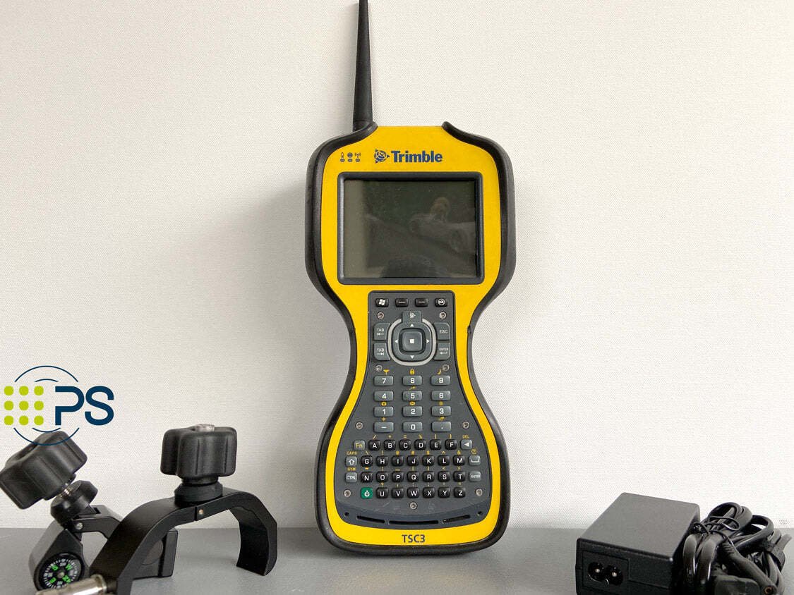
Trimble TSC3 Data Collector with SCS900
.ttm
Standing for Trimble Terrain Model file, a .ttm is the file type created when using, you guessed it, Trimble products. This file type is primarily used by SCS900 and Siteworks rovers. This file type is a triangulated digital terrain model typically containing a 3D representation of the terrain. You’ll only be able to open this file type if you have the right software program.
.dxf
Autocad file used by Trimble SCS900 and Siteworks rovers. The files contain the 2D and 3D linework for the project. It can also be opened by many CAD programs to view the data.
.csv
A basic comma-separated value file that is similar to a text file. It is used by Trimble SCS900 and Siteworks rovers and contains control points or stakeout points. The data can be viewed using Excel.
.svd & .svl
These files come in pairs and contain a surface (.svd) and linework (.svl) for use in Trimble GCS900 machine control. They are a proprietary file type that can only be opened by the GCS900 machine control systems.
.dsz
A file that contains a surface and linework for use in Trimble Siteworks Rovers and Earthworks machine control systems. They are a proprietary file type that can only be opened by the Siteworks or Earthworks programs.
.vcl
A file that contains multiple surfaces and linework for use in Trimble Siteworks Rovers and Earthworks machine control systems. They are a proprietary file type that can only be opened by the Siteworks or Earthworks programs.
.tp3
A file that contains multiple surfaces and linework for use in Topcon rovers and machine control systems. They are a proprietary file type that can only be opened by Topcon systems and 3d office
.tn3
.TN3 is also a tri-mesh file type which is commonly made up of 3D triangles connected by their points/vertices. Surface models are created for specific job sites and then loaded into the machines. This 3D representation of the site allows for the heavy machinery to know where and how to work the site. They consist of multiple frames of bitmap images and information about animated graphics. These graphics illustrate the length and tempo of the animation. TN3 file types can be opened with Topcon systems and 3d Office.
.ln3
A .ln3 file type is also specific to Topcon products as is the .tn3. This file extension is used for linework and allows for the transfer of the linework between the Topcon construction software.
.pt3
A point file used by Topcon systems. They usually contain stake-out points or as-built points. They are a proprietary file type that can only be opened by Topcon systems and 3d office
Various File Types
Converting File Types
Converting file types from one extension to another can be tricky and requires some additional software to be installed on your computer. For example, to convert a Trimble file to a Topcon file you’ll need Trimble’s Business Center to allow you to export different versions. Depending on the type of conversion you’re looking to do there are many articles and videos available online through the retailers themselves and independent 3rd parties which provide you with step-by-step instructions on how to convert them. If you’re looking for more information on this topic you can also contact us and speak with one of our engineers.


