
SAVE TIME AND RESOURCES WITH MASS DATA CAPTURE
Mass data capture has changed the way contractors and developers get the necessary site data for their construction projects. Drones, otherwise known as unmanned aerial vehicles (UAV), have proven to be an excellent tool for collecting this data. Despite the obvious upfront cost for purchasing the drone, it is an inexpensive way to collect the data compared to conventional means. This method has many advantages, including speed, reliability, accuracy, cost-effectiveness, and more.
Improve Bids

Drones capture mass data quickly & accurately
Utilizing this technique will give you a competitive advantage in your bidding process. Drones can practically be flown anywhere, at any time, which means you don't have to deal with surveyor scheduling issues. Drones can survey large sites in a relatively short amount of time compared to other ways. They can also fly over areas too dangerous for surveyors to access. A drone can fly over it and get the data, whether due to steep elevations, harsh terrains, heavily congested areas, or other hazardous situations. In-flight, the drone takes thousands of measurements as accurate and is collected more quickly than traditional methods. Once the drone flight has occurred, and the field data has been collected, it can be processed and used to create a 3D point cloud of the area. This pre-construction 3D model becomes a much more valuable resource than a 2D model because of its accurate and highly detailed visual representation of the site. 3D models offer different colors representing different features and rotating functionalities that 2D models do not provide. You can also digitally overlay models to make site comparisons, leading to better decision-making related to estimating materials and associated costs. As a result, your calculations will be more precise, improving and increasing your bids. A pre-construction survey will also show any discrepancies between the project engineer's original ground and your survey's original ground. These discrepancies can come from many different causes, but they can lead to surpluses or deficits in your earthwork quantities if not caught before construction. Knowing the accuracy of the original ground survey allows you to be more completive with your bid and feel safe in the knowledge that your quantities are accurate.
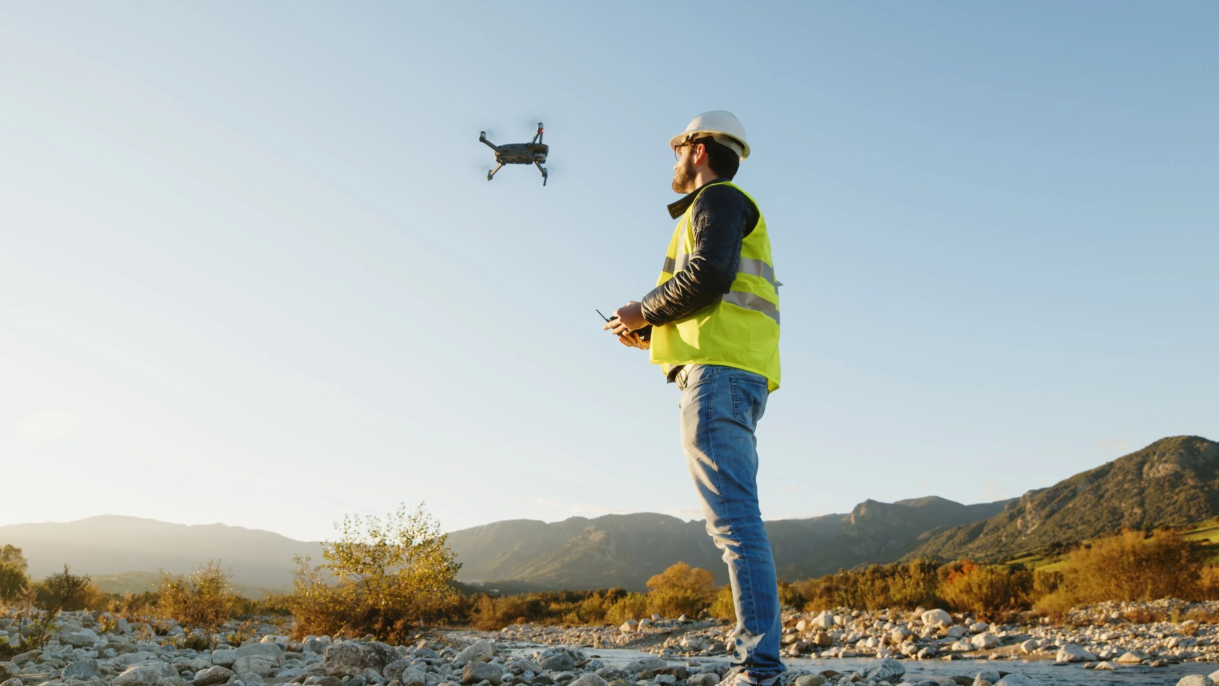
Drones can access all areas on a job site
Tools of the Trade
To collect mass data using a drone, you first need a drone. You can start with any relatively cheap drone like a DJI Phantom or Maverick series drone. These drones can realistically get you a 1.75-2.75cm ground resolution. Professional options from Topcon (Intel Falcon 8+) and Trimble (UX5 HP) provide a point cloud resolution of under 1cm ground resolution. If you plan to use the drone to survey stockpiles and mass cuts & fills, you don't need to spend the $10,000+ on a professional drone. You will also need a rover to set up the ground control points required for a drone survey. Ground control points (GCPs) are measured just like standard control points using a rover, but instead of being a single pin, they are a large "X" shaped piece of fabric, or an "X" painted onto a hard flat surface. GCPs tie the drone survey to a physical location—just like standard control points link a site to a physical location. The last piece of equipment will be a beefy computer capable of processing point clouds and the software to do it. You can have millions of point cloud points on large site surveys that can tie up a computer for hours when processing it. Some services can remotely process your point clouds for a small fee to get around this requirement.
Access Data Easily & Often
Accessing and working with a large amount of collected data becomes more manageable through various software programs sold by retailers like Topcon and Trimble. Owning and using the software yourself is an excellent benefit in that you can eliminate or at least reduce the need for having a surveyor return to the site to collect more data. If there is a lack of information after the initial flight, you can quickly fly the drone over the site as many times as necessary until you get everything you need. It is best to fly the drone at regular intervals throughout the project's life cycle so that adjustments and changes can be captured, and progress can be tracked and communicated back to those in the office or elsewhere. If you're unsure how to get started with mass data collection or have any questions on this topic, give us a call.