
ECI Blog
Downloads


Tags
- 3D Digital Models 10
- 3d scanners 1
- AI in Construction 2
- AMG 1
- Artificial Intelligence 2
- As-Built 1
- Autocad 2
- Base and Rover 1
- Better meetings 1
- Big Data 2
- Big Data in Construction 3
- CAD 5
- CAD files 4
- Cad Services 1
- Changes in Construction 2
- Civil GPS systems 7
- Communication 2
- Conexpo 1
- Construction Data and Safety 5
- Construction Project Bidding 6
- Construction Takeoffs 6
- Construction control site networks 3
- Construction planning 2
- Construction projects 6
- Control Points 3
- Curbs 1
- DEM 1
- DSM 1
- DTM 4
- Dig safe 2
- Digital takeoffs 6
- Drone data 3
- Drones 2
- Earthwork drones 1
- Electronic Distance Measuring 1
- Ellipsoids 1
- Excavation Safety 2
- Excavation bidding process 3
- Excavation hybrid fleet 1
- GPS Machine Calibration 3
- GPS equipment software 5
- GPS/GNSS 8
- Geoids 2
- Heavy Equipment GPS 8
- Lidar 2
- Milling and Paving 1
- Milling and Paving Technologies 3
- Orthophotos 2
- Point Cloud 1
- RTK 3

YOUR COORDINATE SYSTEMS IN AUTOCAD DON’T ALIGN, NOW WHAT? READ ON…
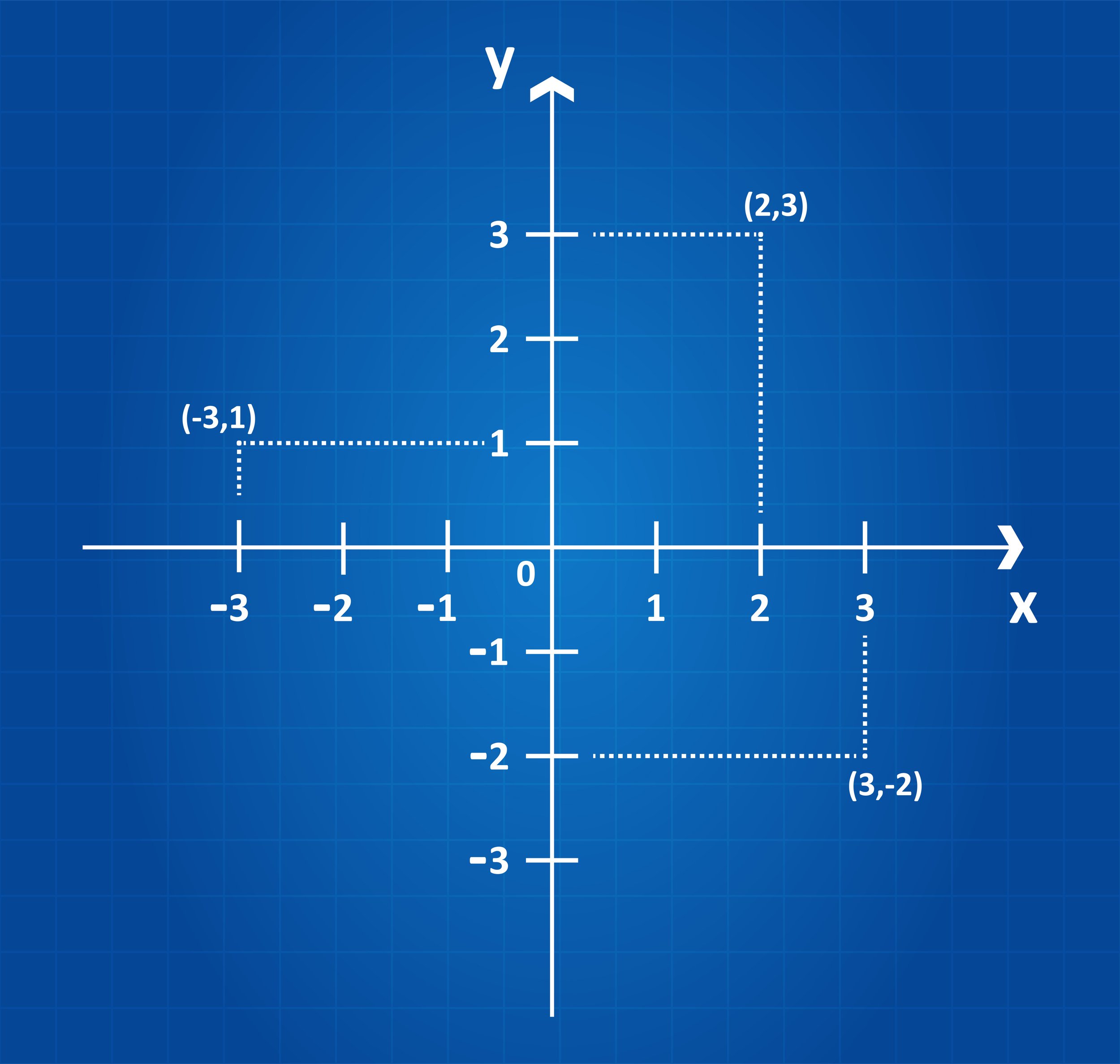
Today, most projects have coordinate systems because of CAD design. Often, the coordinate systems being used differ between what the architect uses versus what the civil engineers use versus what the structural engineers use versus what the surveyors use. As a result of the different systems, the measurement units differ, and the plans don't align.
COORDINATE SYSTEMS 101: WHY THEY CAN MAKE OR BREAK A PROJECT
A construction project’s success factor begins with accurate survey data and the coordinate system it is based on. The coordinate system is the source for obtaining the precise survey data. Coordinates are necessary when laying projects out, whether it’s a highway, bridge, site work, utilities, or another type of construction project.